
![]()
![]()
rnpn is an R client for interacting with the USA
National Phenology Network data web services. These services include
access to a rich set of observer-contributed, point-based phenology
records as well as geospatial data products including gridded
phenological model and climatological data.
Documentation is available for the National Phenology Network API documentation, which describes the full set of REST services this package wraps.
There is no need for an API key to grab data from the National Phenology Network but users are required to self identify, on an honor system, against requests that may draw upon larger datasets. For functions that require it, simply populate the request_source parameter with your name or the name of your institution.
CRAN version
install.packages("rnpn")Development version:
install.packages("devtools")
library('devtools')
devtools::install_github("usa-npn/rnpn")library('rnpn')This package has dependencies on both curl and gdal. Some Linux based systems may require additional system dependencies for those required packages, and accordingly this package, to install correctly. For example, on Ubuntu:
sudo apt install libcurl4-openssl-dev
sudo apt install libproj-dev libgdal-devMany of the functions to search for data require knowing the internal unique identifiers of some of the database entities to filter the data down efficiently. For example, if you want to search by species, then you must know the internal identifier of the species. To get a list of all available species use the following:
species_list <- npn_species()Similarly, for phenophases:
phenophases <- npn_phenophases()There are four main functions for accessing observational data, at various levels of aggregation. At the most basic level you can download the raw status and intensity data.
some_data <- npn_download_status_data(
  request_source = 'Your Name or Org Here',
  years = c(2015),
  species_id = c(35),
  states = c('AZ', 'IL')
)
Note that through this API, data can only be filtered chronologically by full calendar years. You can specify any number of years in each API call. Also note that request_source is a required parameter and should be populated with your name or the name of the organization you represent. All other parameters are optional but it is highly recommended that you filter your data search further.
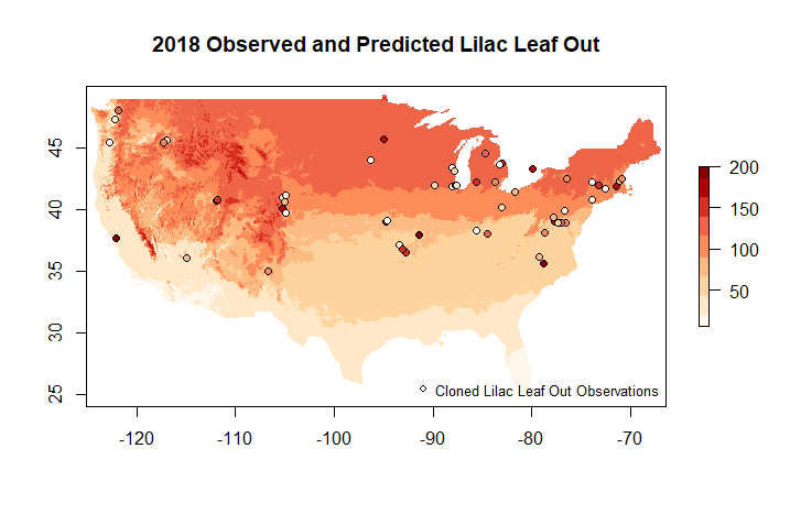
This package wraps around standard WCS endpoints to facilitate the transfer of raster data. Generally, this package does not focus on interacting with WMS services, although they are available. To get a list of all available data layers, use the following:
layers <- npn_get_layer_details()You can then use the name of the layers to select and download geospatial data as a raster.
npn_download_geospatial(
  coverage_id = 'si-x:lilac_leaf_ncep_historic',
  date = '2016-12-31',
  format = 'geotiff',
  output_path = './six-test-raster.tiff'
)For more details see Vignette VII
Please read and review the vignettes for this package to get further information about the full scope of functionality available.
This code was developed, in part, as part of the integrated Pheno-Synthesis Software Suite (PS3). The authors acknowledge funding for this work through NASA’s AIST program (80NSSC17K0582, 80NSSC17K0435, 80NSSC17K0538, and 80GSFC18T0003). The University of Arizona and the USA National Phenology Network’s efforts with this package are supported in part by US Geological Survey (G14AC00405, G18AC00135) and the US Fish and Wildlife Service (F16AC01075 and F19AC00168).
rnpn in R doing
citation(package = 'rnpn')